On August 25, 2002, WalkBoston, the Central Artery/Tunnel Project,
and the City of Boston sponsored a walking tour of a part of the
Central Artery which is nearly complete. The actual tour began at the
southern portal of the northbound I-93 tunnel, behind the Mass.
Highway Department building on Kneeland St. not far from South
Station, where much of the management of the Big Dig takes places (now
under auspices of the Mass. Turnpike Authority, which is funding much
of the state's share of the $15 billion price tag).
Unfortunately, only a very short segment of the tunnel was
available to be toured, not more than half a mile out and back, from
the portal north to the Dewey Square curve where the northbound and
southbound tunnels first meet up. (Southbound traffic on the new
Artery will use the Dewey Square Tunnel, just as existing southbound
traffic does. Northbound traffic follows a completely new alignment
underneath Atlantic Ave. as far as Dewey Square and then follows the
alignment of the existing highway from there north to the portal just
north of Causeway St.
Before and after the tunnel walk I took some photos of other
structures of interest to me.
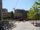 |
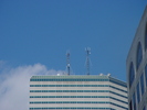
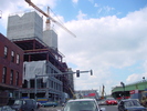
| Stata Center construction
(Dreyfoos tower) |
|
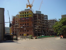 |
| Stata Center construction (Gates
tower) |
|
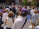 |
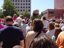
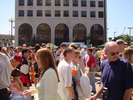
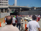
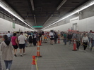
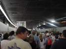
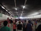
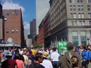
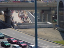
| Crowd lined up on South St. for the walk |
|
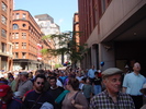 |
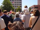
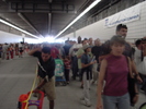
| More of the crowd on South St., looking back towards Dewey Sq. |
|
 |
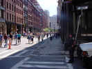
| We finally cross Kneeland St. |
|
 |
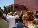
| A little closer... |
|
 |
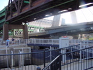
| SSTC bus ramps, with Robert
Reich campaign van parked below |
|
 |
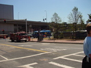
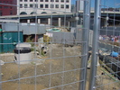
| Entering MHD parking lot |
|
 |
| Chicane through MHD parking lot |
|
 |
| Trumpeting an Achievement? |
|
 |
| More Old News |
|
 |
| Have some rebar! |
|
 |
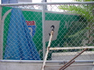
| Vent Building #1 |
|
 |
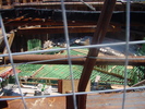
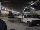
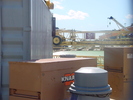
| Construction debris |
|
 |
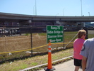
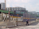
| Look! The Portal! |
|
 |
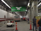
| Just inside the portal |
|
 |
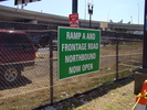
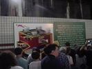
| A closer view of the sign |
|
 |
| Looking back towards the portal |
|
 |
| Move along, nothing to see here.... |
|
 |
| Looking up at one of the
many surveillance cameras. |
|
 |
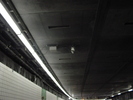
| Lane-use lights |
|
 |
| End of the line |
|
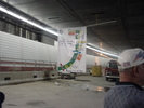 |
| The whole banner |
|
 |
| Looking further up the tunnel |
|
 |
| Diagram showing why the highway is 120 ft below surface here. |
|
 |
| Looking back up towards the portal |
|
 |
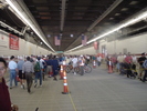
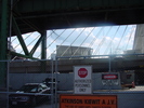
| Up the Pike ramps |
|
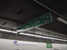 |
| Advance exit 23 sign |
|
 |
| Back outside |
|
 |
| Roof of One Financial |
|
 |
| Corner of South and Kneeland Sts. |
|
 |
| End of the line |
|
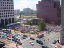 |
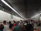
| Obligatory aerial crowd shot |
|
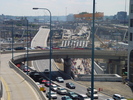 |
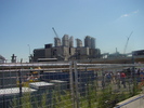
| South Bay Interchange (northern end) |
|
 |
| Closer shot of the portal |
|
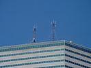 |
| WERS and WHRB once again |
|
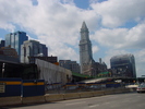 |
| Custom House Tower; old and temporary Northern Ave. on-ramps. |
|
 |
| Ancient Callahan Tunnel signs. |
|
 |
| Brand-new guide sign now being stored near Sumner Tunnel off-ramp. |
|
 |
| Parcel 7 |
|
 |
| Vent Building #8 |
|
 |
| Oops! |
|
Copyright 2002 Garrett A. Wollman. All rights reserved.